
Buffer zones are one of the most underappreciated and endangered parts of Prince Edward Island’s watersheds and ecosystems.
Buffer zones, sometimes called strips or riparian zones, are the division between agricultural fields and watersheds, usually measuring 15 metres between the streambed and the field. Crops that are being harvested are also required to have 10 metres of grassed headland between the buffer zone itself and the end of the crop rows.
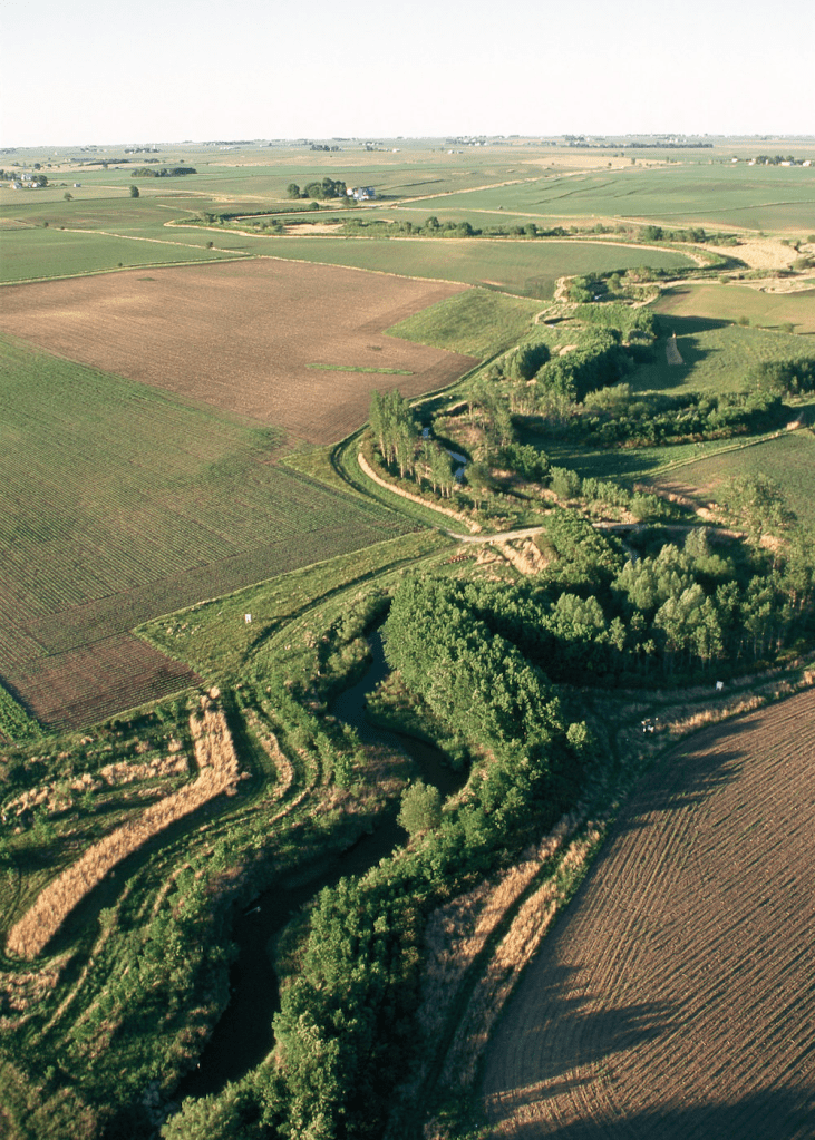
For all tidal areas, they are measured from the top of the bank. Tidal areas include the saltwater part of rivers, bays and the outer coastline. For wetlands, buffer zones are measured from the edge of the wetland vegetation.
Buffer zones are designed to prevent runoff from agricultural fields from entering the watersheds. It reduces surface runoff, controls erosion along streams and coastlines, prevents heavy nutrient loading into streams, creates habitats for birds, amphibians, and reptiles, increases species diversity, and controls pollution uptake by adjacent waterways.
A healthy buffer zone leads to thick, dense root systems and deep soils that filter pollution from streams. Excess nutrients, pesticides, fertilizers, and foreign sediments are controlled with a healthy buffer zone. The root systems also prevent erosion, holding stream banks intact during storms, heavy rainfalls or surges.
Another benefit of buffer zones is that they can shade and regulate stream temperatures. Thick, dense canopies can protect streams, rivers and brooks from harsh sunlight, preventing water from overheating on hot summer days.
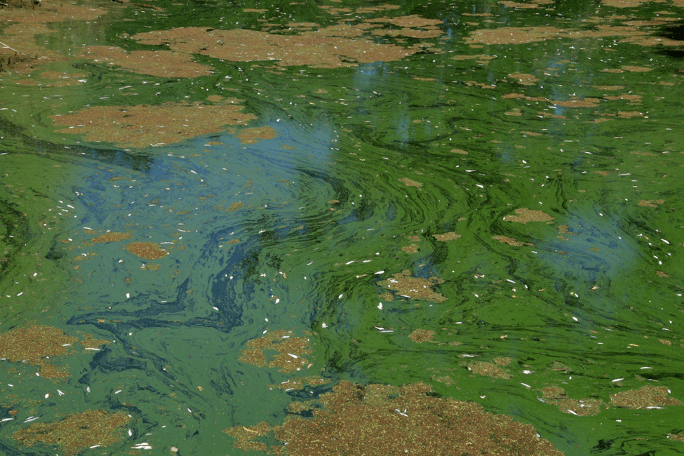
Extreme heat and sunlight can cause harmful algal blooms and deplete oxygen levels, affecting fish sensitive to low oxygen, such as trout. Algal blooms can cause fish kills, dead zones, and land animal deaths as well. Harmful algal blooms can cause diseases in humans, especially if shellfish or fish are consumed after being caught in a stream with an algal bloom.
Buffer zones are protected in many ways. You may not plant agricultural crops or use pesticides in buffer zones unless next to wetlands that are completely shrub swamps, bogs, wooded swamps, seasonally flooded flats, meadows and landlocked ponds. However, tractors are allowed to turn within the 15-metre zone when harvesting.
If the farm is a livestock farm, the same rules above apply to the operation. Any building or expansion of livestock operations within 90 metres of any watercourse or wetland without authorization from the government.
Livestock are prohibited from entering watersheds because they may introduce harmful pathogens into waterways, track heavy nutrients into the water, and degrade the natural environment, such as stream banks. This can lead to runoff and, in some cases, fish kills in streams.
However, maintaining and restoring buffer zones is more difficult than it might seem.
For example, extreme weather conditions can greatly affect buffer zones. Hurricanes, like Dorian and Fiona, knocked down many trees in buffer zones, exposing streams to runoff and chemicals from spraying.
Trees in buffer zones are especially vulnerable to strong winds. The ground tends to be wetter, making it easier for the trees to topple. Being next to large, sprawling open fields also creates stronger winds. In winter, this can lead to large snow drifts building up in buffer zones.
The Tignish Watershed Management Group strives to build connections between local farmers and environmental organizations. Throughout the summer, we will continue planting trees along buffer zones in the Tignish area, protecting watersheds one tree at a time.
 Tignish Watershed Management Group